
Peru Shown on a Geography map, selective focus.
Коллекция по умолчанию
Коллекция по умолчанию
Создать новую

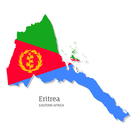
Eritrea hand drawn grunge style flag icon set. Eritrean banner in official colors. Free brush stroke shape, circle and heart-shaped. Flat vector illustration isolated on white.
Коллекция по умолчанию
Коллекция по умолчанию
Создать новую
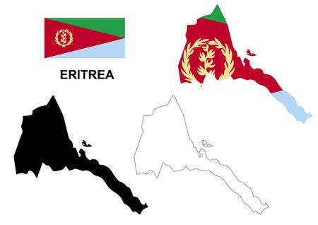
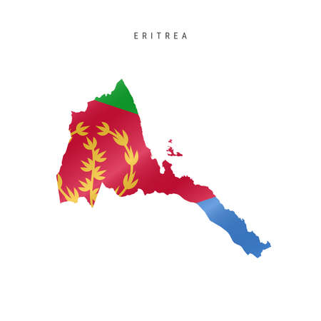
Eritrea map vector illustration. Global economy. Famous country. Eastern Africa. Africa.
Коллекция по умолчанию
Коллекция по умолчанию
Создать новую
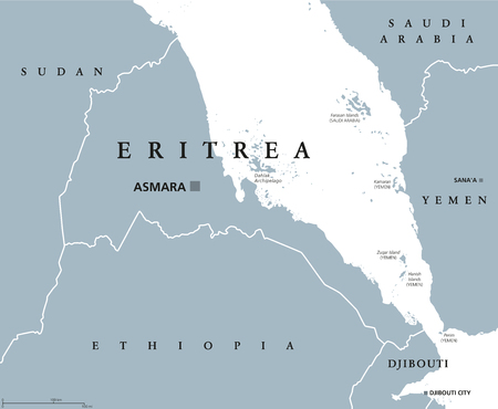
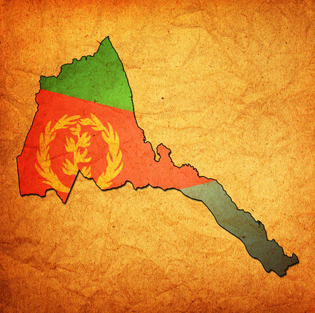
Eritrea political map with capital Asmara. State and country in the Horn of Africa with extensive coastline along the Red Sea. Gray illustration isolated on white background. English labeling. Vector.
Коллекция по умолчанию
Коллекция по умолчанию
Создать новую
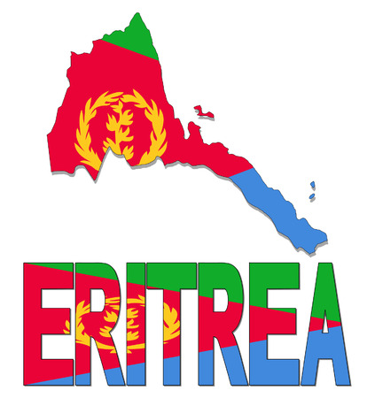
Eritrea map flag and text vector illustration
Коллекция по умолчанию
Коллекция по умолчанию
Создать новую
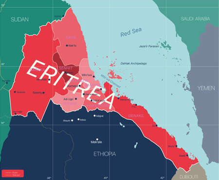
Eritrea country detailed editable map with regions cities and towns, roads and railways, geographic sites. Vector EPS-10 file
Коллекция по умолчанию
Коллекция по умолчанию
Создать новую
Eritrea map flag coat
Коллекция по умолчанию
Коллекция по умолчанию
Создать новую

Eritrea, Asmara - capital city, pinned on political map
Коллекция по умолчанию
Коллекция по умолчанию
Создать новую
World globe
Коллекция по умолчанию
Коллекция по умолчанию
Создать новую
Eritrea map with flag inside and ribbon
Коллекция по умолчанию
Коллекция по умолчанию
Создать новую
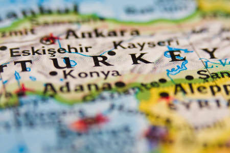
Turkey on the map.
Коллекция по умолчанию
Коллекция по умолчанию
Создать новую
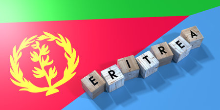
Eritrea - wooden cubes and country flag - 3D illustration
Коллекция по умолчанию
Коллекция по умолчанию
Создать новую
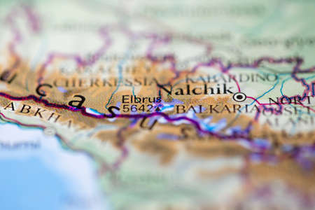
Shallow depth of field focus on geographical map location of Mount Elbrus in Russia Europe continent on atlas
Коллекция по умолчанию
Коллекция по умолчанию
Создать новую
Map of Iran on a vintage style globe
Коллекция по умолчанию
Коллекция по умолчанию
Создать новую
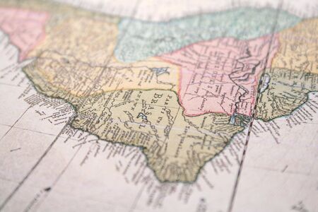
old map of brasil background
Коллекция по умолчанию
Коллекция по умолчанию
Создать новую
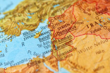
Detail of german map of Middle East
Коллекция по умолчанию
Коллекция по умолчанию
Создать новую

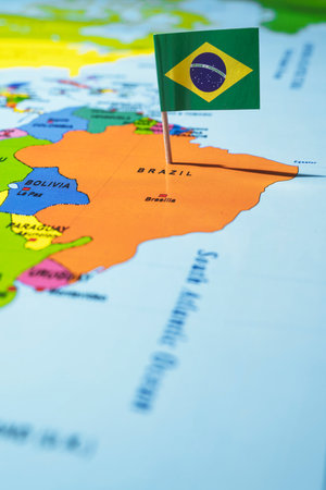
Brazil on the map. Brazil on the world map.
Коллекция по умолчанию
Коллекция по умолчанию
Создать новую
Eritrea map vector, Eritrea flag vector, isolated Eritrea
Коллекция по умолчанию
Коллекция по умолчанию
Создать новую
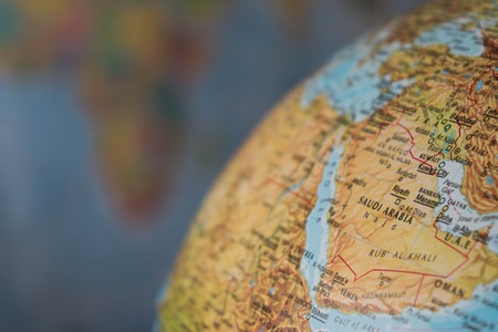
Africa and middle east map on a globe with earth map in the background
Коллекция по умолчанию
Коллекция по умолчанию
Создать новую
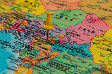
A colorful map details the countries of Africa, prominently featuring Cameroon.
Коллекция по умолчанию
Коллекция по умолчанию
Создать новую
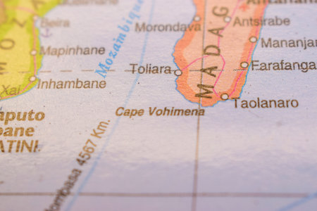
Toliara On The World Map-Geo Political Map
Коллекция по умолчанию
Коллекция по умолчанию
Создать новую
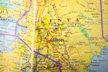
Atlas map of Nairobi in Kenya
Коллекция по умолчанию
Коллекция по умолчанию
Создать новую

Map of Spain with focus on Madrid City.
Коллекция по умолчанию
Коллекция по умолчанию
Создать новую
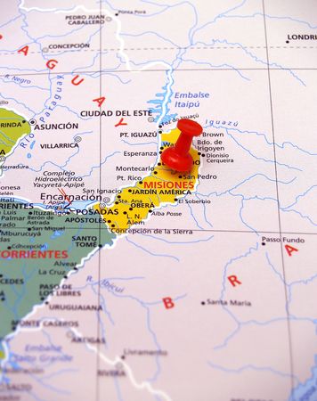
map of Argentina, Misiones
Коллекция по умолчанию
Коллекция по умолчанию
Создать новую

Map of the world
Коллекция по умолчанию
Коллекция по умолчанию
Создать новую
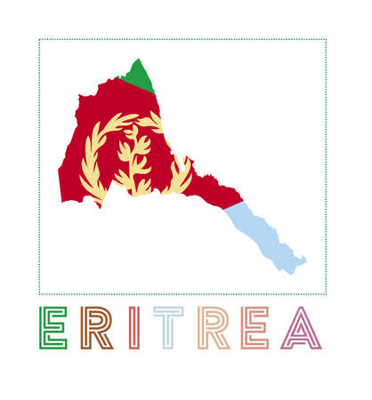
Eritrea Logo. Map of Eritrea with country name and flag. Astonishing vector illustration.
Коллекция по умолчанию
Коллекция по умолчанию
Создать новую

The Japanese map in the world map.
Коллекция по умолчанию
Коллекция по умолчанию
Создать новую
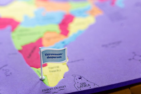
Selective focus on Thiruvananthapuram - the capital city of Kerala on an Indian map
Коллекция по умолчанию
Коллекция по умолчанию
Создать новую
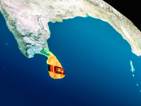
Sri Lanka with embedded national flag as if seen from Earth's orbit in space. 3D illustration with highly detailed realistic planet surface.
Коллекция по умолчанию
Коллекция по умолчанию
Создать новую
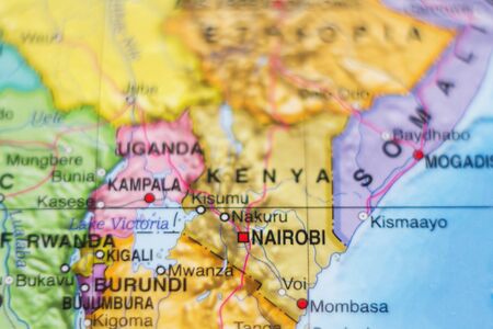
Beautiful photo of a map of Kenya and the capital Nairobi .
Коллекция по умолчанию
Коллекция по умолчанию
Создать новую
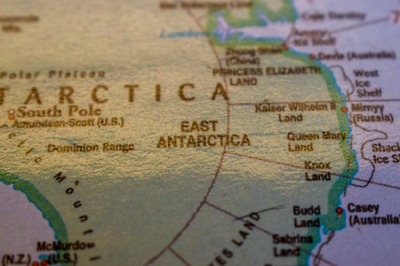
East Antarctica On The World Map Colorful Geo Political Worl Map
Коллекция по умолчанию
Коллекция по умолчанию
Создать новую

Geographical view of Cuba
Коллекция по умолчанию
Коллекция по умолчанию
Создать новую
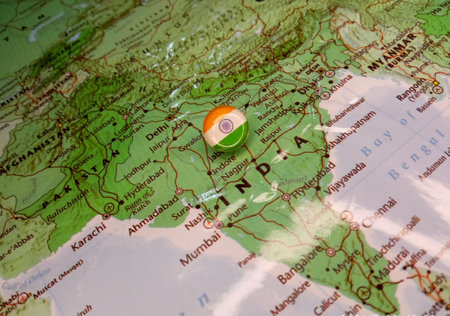
Drawing pin flag of India on the map. High quality photo
Коллекция по умолчанию
Коллекция по умолчанию
Создать новую
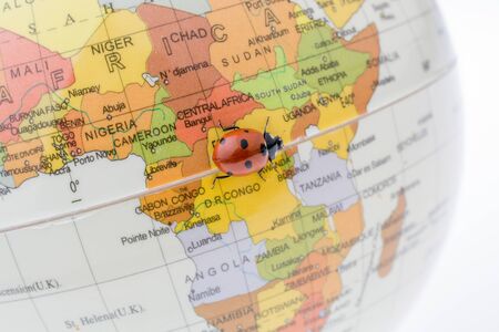
Ladybug walking on a little colorful model globe
Коллекция по умолчанию
Коллекция по умолчанию
Создать новую

Togo Highlighted on 3D Earth model with water and visible country borders. 3D illustration.
Коллекция по умолчанию
Коллекция по умолчанию
Создать новую
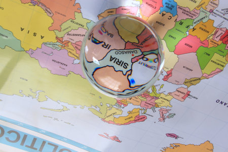
Crystal ball on a world map that highlights a country to highlight it as a magnifying glass and note its economic and financial importance in the world: Syria
Коллекция по умолчанию
Коллекция по умолчанию
Создать новую
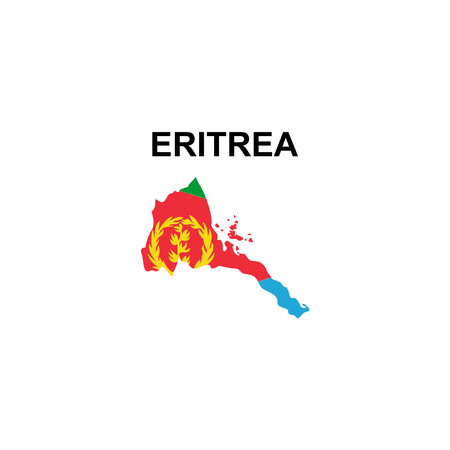
maps of Eritrea icon vector sign symbol
Коллекция по умолчанию
Коллекция по умолчанию
Создать новую
Little colorful model globe with maps on it
Коллекция по умолчанию
Коллекция по умолчанию
Создать новую

Red pin placed selective at Papua new guinea map. - Economic and business concept.
Коллекция по умолчанию
Коллекция по умолчанию
Создать новую

Illustration of Ethiopia as seen from Earth’s orbit in late evening. 3D illustration.
Коллекция по умолчанию
Коллекция по умолчанию
Создать новую
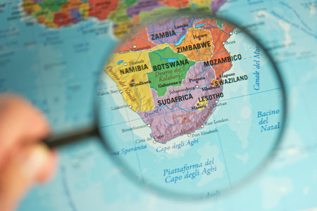
Selective focus on the map of South America through a magnifying glass
Коллекция по умолчанию
Коллекция по умолчанию
Создать новую
study geography, oceans, countries and continents with the world map
Коллекция по умолчанию
Коллекция по умолчанию
Создать новую
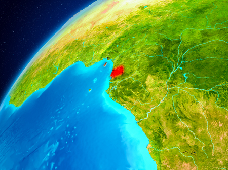
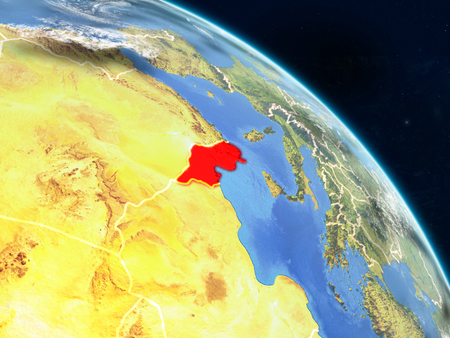
Orbit view of Equatorial Guinea highlighted in red on planet Earth. 3D illustration.
Коллекция по умолчанию
Коллекция по умолчанию
Создать новую

Map of Melbourne
Коллекция по умолчанию
Коллекция по умолчанию
Создать новую
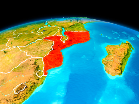
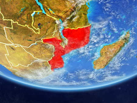
Satellite view of Mozambique highlighted in red on planet Earth with borderlines. 3D illustration.
Коллекция по умолчанию
Коллекция по умолчанию
Создать новую
Map of Eritrea. Vector illustration. World map.
Коллекция по умолчанию
Коллекция по умолчанию
Создать новую
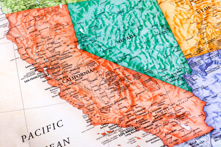
Graphic map of California in the United States of America
Коллекция по умолчанию
Коллекция по умолчанию
Создать новую
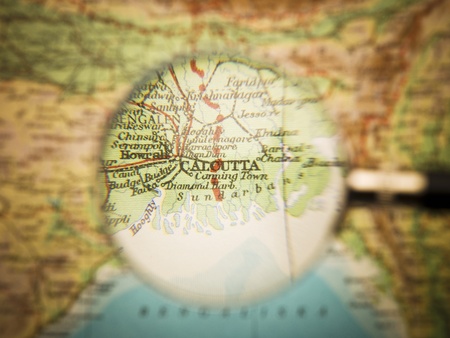
Magnifying Glass in front of a Calcutta map
Коллекция по умолчанию
Коллекция по умолчанию
Создать новую
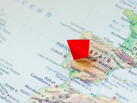
World map with focus on Spain country with capital city Madrid. Red triangle pin.
Коллекция по умолчанию
Коллекция по умолчанию
Создать новую
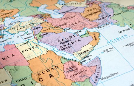
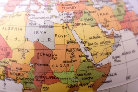
Map of the Middle East
Коллекция по умолчанию
Коллекция по умолчанию
Создать новую

pin flag placed selective at Colombia map. - Economic and business concept.
Коллекция по умолчанию
Коллекция по умолчанию
Создать новую
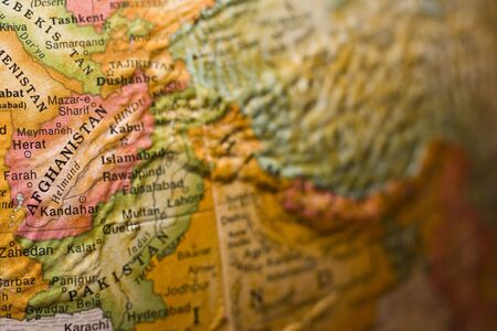
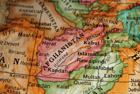
Afghanistan
Коллекция по умолчанию
Коллекция по умолчанию
Создать новую
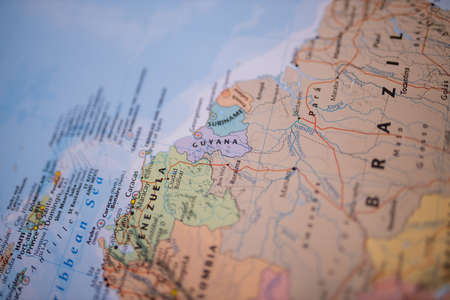
Guyana on a colorful map of South America with its main routes in red
Коллекция по умолчанию
Коллекция по умолчанию
Создать новую
Eritrea map. Borders of Eritrea for your infographic. Vector country shape. Vector illustration.
Коллекция по умолчанию
Коллекция по умолчанию
Создать новую
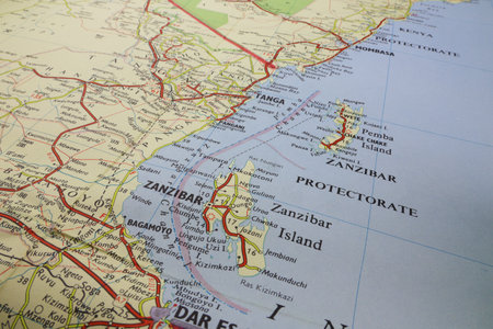
Vintage map paper old of East Africa Zanzibar
Коллекция по умолчанию
Коллекция по умолчанию
Создать новую
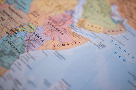
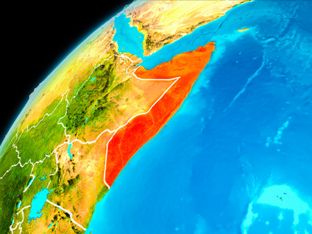
Somalia on a colorful and blurry map of Africa with its main routes in red
Коллекция по умолчанию
Коллекция по умолчанию
Создать новую
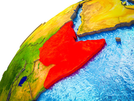
Orbit view of Somalia highlighted in red with visible borderlines on planet Earth. 3D illustration.
Коллекция по умолчанию
Коллекция по умолчанию
Создать новую
Horn of Africa on 3D Earth model with visible country borders. 3D illustration.
Коллекция по умолчанию
Коллекция по умолчанию
Создать новую
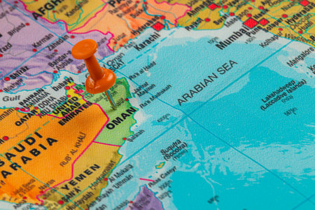
A bright map displays Oman with a red pin marking its location in the Arabian Sea. Surrounding countries and cities highlight the region's geographic context.
Коллекция по умолчанию
Коллекция по умолчанию
Создать новую
Western Africa on 3D Earth model with visible country borders. 3D illustration.
Коллекция по умолчанию
Коллекция по умолчанию
Создать новую
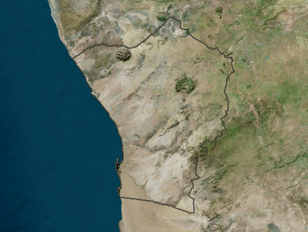
Erongo, region of Namibia. High resolution satellite maps
Коллекция по умолчанию
Коллекция по умолчанию
Создать новую
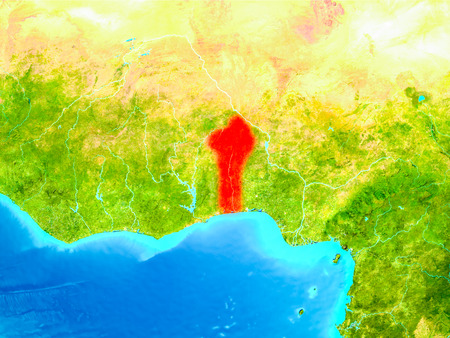
Benin highlighted in red on planet Earth. 3D illustration.
Коллекция по умолчанию
Коллекция по умолчанию
Создать новую
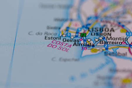
03-01-2021 Portsmouth, Hampshire, UK The Costa Del sol Shown on a road map or Geography map and atlas
Коллекция по умолчанию
Коллекция по умолчанию
Создать новую

Magnifying glass on a map of the world. selective focus.
Коллекция по умолчанию
Коллекция по умолчанию
Создать новую

Eritrea icon. Country map on dark background. Stylish Eritrea map with country name. Vector illustration.
Коллекция по умолчанию
Коллекция по умолчанию
Создать новую
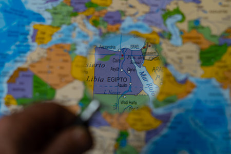
colorful view of egypt magnified with a magnifying glass, blurred background
Коллекция по умолчанию
Коллекция по умолчанию
Создать новую
Mozambique on realistic model of planet Earth with country borders and very detailed planet surface and clouds. 3D illustration.
Коллекция по умолчанию
Коллекция по умолчанию
Создать новую
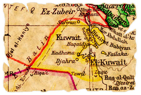
Kuwait on an old torn map from 1949, isolated. Part of the old map series.
Коллекция по умолчанию
Коллекция по умолчанию
Создать новую

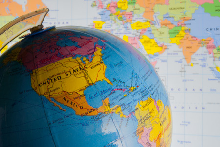
Close up of a globe against a white background
Коллекция по умолчанию
Коллекция по умолчанию
Создать новую
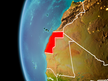
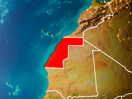
Evening over Western Sahara as seen from space on planet Earth with visible border lines and city lights. 3D illustration.
Коллекция по умолчанию
Коллекция по умолчанию
Создать новую
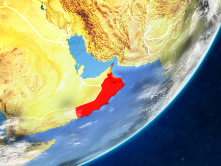
Oman on model of planet Earth with country borders and very detailed planet surface and clouds. 3D illustration.
Коллекция по умолчанию
Коллекция по умолчанию
Создать новую

The focus is on Mexico on this vintage map.
Коллекция по умолчанию
Коллекция по умолчанию
Создать новую
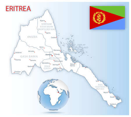
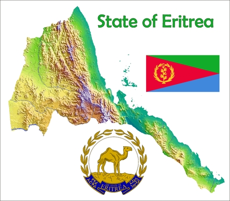
Detailed map of Eritrea administrative divisions with country flag and location on the globe. Vector illustration
Коллекция по умолчанию
Коллекция по умолчанию
Создать новую
map with flag of eritrea with national borders
Коллекция по умолчанию
Коллекция по умолчанию
Создать новую

Atlas map of Quito in Ecuador
Коллекция по умолчанию
Коллекция по умолчанию
Создать новую
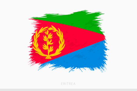
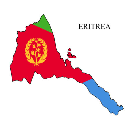
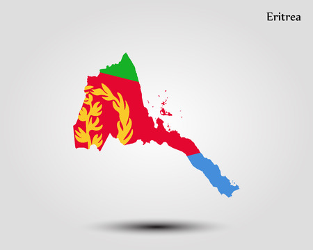
Grunge flag of Eritrea, vector abstract grunge brushed flag of Eritrea on gray background.
Коллекция по умолчанию
Коллекция по умолчанию
Создать новую
Garage with rusty and abandoned car and wooden textures
Коллекция по умолчанию
Коллекция по умолчанию
Создать новую

World map focusing on Iraq. 3D rendering
Коллекция по умолчанию
Коллекция по умолчанию
Создать новую
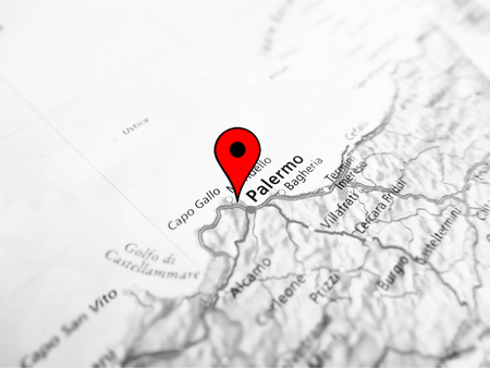
Palermo city over a road map (ITALY)
Коллекция по умолчанию
Коллекция по умолчанию
Создать новую
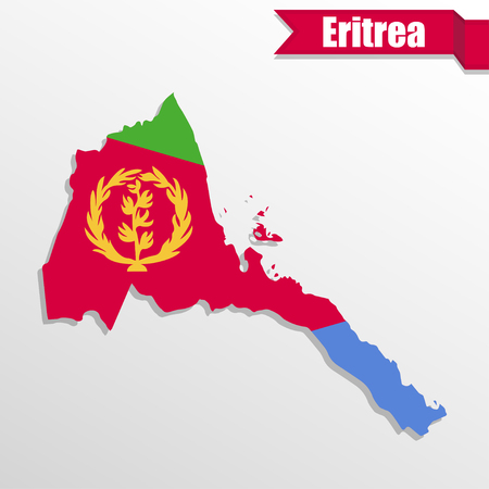
Detailed waving flag map of Eritrea. Vector map with masked flag.
Коллекция по умолчанию
Коллекция по умолчанию
Создать новую
Togo Highlighted on 3D Earth model with water and visible country borders. 3D illustration.
Коллекция по умолчанию
Коллекция по умолчанию
Создать новую
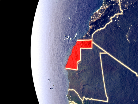
Western Sahara from orbit of planet Earth in sunrise with highly detailed surface textures and visible country borders. 3D illustration.
Коллекция по умолчанию
Коллекция по умолчанию
Создать новую
A map of Brazil with a Brazilian flag on it. The flag is green. Travel and government concept
Коллекция по умолчанию
Коллекция по умолчанию
Создать новую
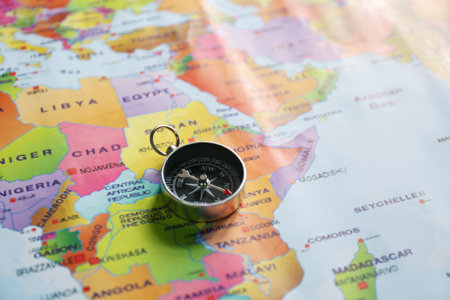
Modern compass on world map, closeup. trip planning
Коллекция по умолчанию
Коллекция по умолчанию
Создать новую
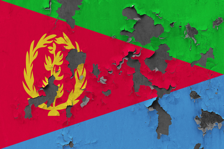
Close up grungy, damaged and weathered Eritrea flag on wall peeling off paint to see inside surface.
Коллекция по умолчанию
Коллекция по умолчанию
Создать новую

3D image of a map of South America, shot at an angle and focused on the continent
Коллекция по умолчанию
Коллекция по умолчанию
Создать новую

Part of the world map with South America and Africa.
Коллекция по умолчанию
Коллекция по умолчанию
Создать новую
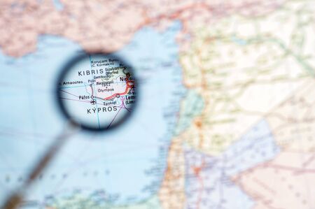
Cyprus close-up through a magnifying glass on the background of a blurred geographical map. Background.
Коллекция по умолчанию
Коллекция по умолчанию
Создать новую
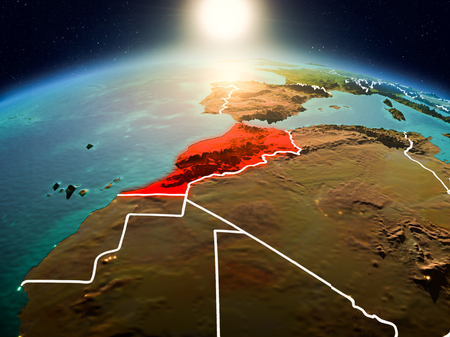
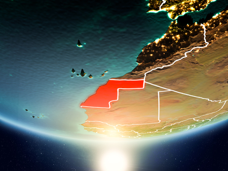
Sunrise above Morocco highlighted in red on model of planet Earth in space with visible country borders. 3D illustration.
Коллекция по умолчанию
Коллекция по умолчанию
Создать новую

Old world map Japan
Коллекция по умолчанию
Коллекция по умолчанию
Создать новую
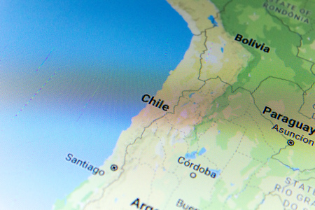
Ryazan, Russia - July 08, 2018: Country of Chile on the google maps service
Коллекция по умолчанию
Коллекция по умолчанию
Создать новую

Morning above Equatorial Guinea highlighted in red on model of planet Earth in space with visible border lines and city lights. 3D illustration.
Коллекция по умолчанию
Коллекция по умолчанию
Создать новую
Night view of Western Sahara from space with visible city lights. Very detailed plastic planet surface. 3D illustration.
Коллекция по умолчанию
Коллекция по умолчанию
Создать новую
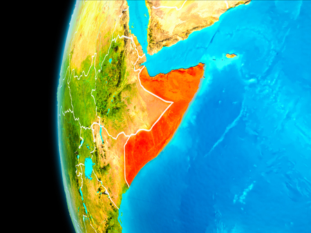
Somalia as seen from Earth’s orbit on planet Earth highlighted in red with visible borders. 3D illustration.
Коллекция по умолчанию
Коллекция по умолчанию
Создать новую
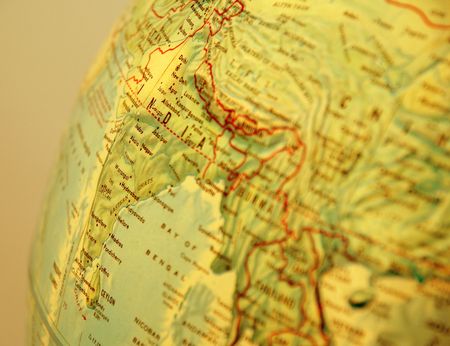
closeup of World globe focused on asia with gold filter
Коллекция по умолчанию
Коллекция по умолчанию
Создать новую

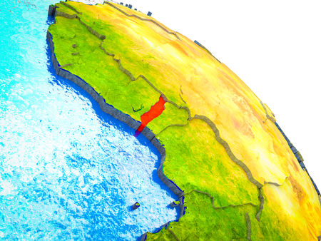
Morning above Liberia highlighted in red on model of planet Earth in space with visible border lines and city lights. 3D illustration.
Коллекция по умолчанию
Коллекция по умолчанию
Создать новую
Map of Eritrea with national flag. Highly detailed editable Eritrean map of Eastern Africa country territory borders. Political or geographical design vector illustration on whilte background
Коллекция по умолчанию
Коллекция по умолчанию
Создать новую
Tunisia from space on realistic model of planet Earth with country borders and detailed planet surface and clouds. 3D illustration.
Коллекция по умолчанию
Коллекция по умолчанию
Создать новую
Western Sahara in the morning highlighted in red on planet Earth with visible border lines and city lights. 3D illustration.
Коллекция по умолчанию
Коллекция по умолчанию
Создать новую
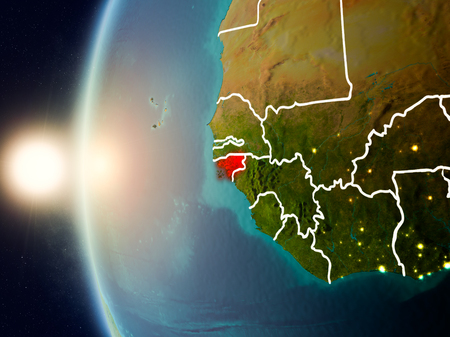
Illustration of Guinea-Bissau as seen from Earth’s orbit during sunset with visible country borders. 3D illustration.
Коллекция по умолчанию
Коллекция по умолчанию
Создать новую
Legion-Media
Создайте свои проекты на основе качественных стоковых фотографий и видео.


Copyright © Legion-Media.